Peralta Regional Park Geology
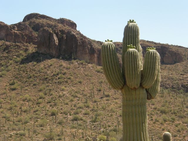
The Peralta site will be, but has not yet been, developed as a county park. The 480 acre site is both rugged and beautiful.
More beauty.
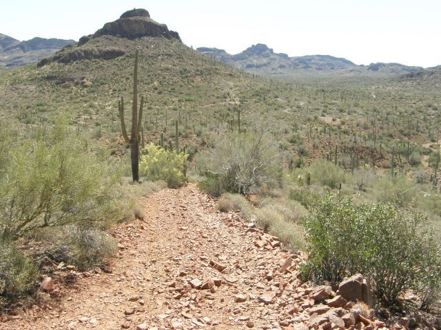
The route we took to get here.
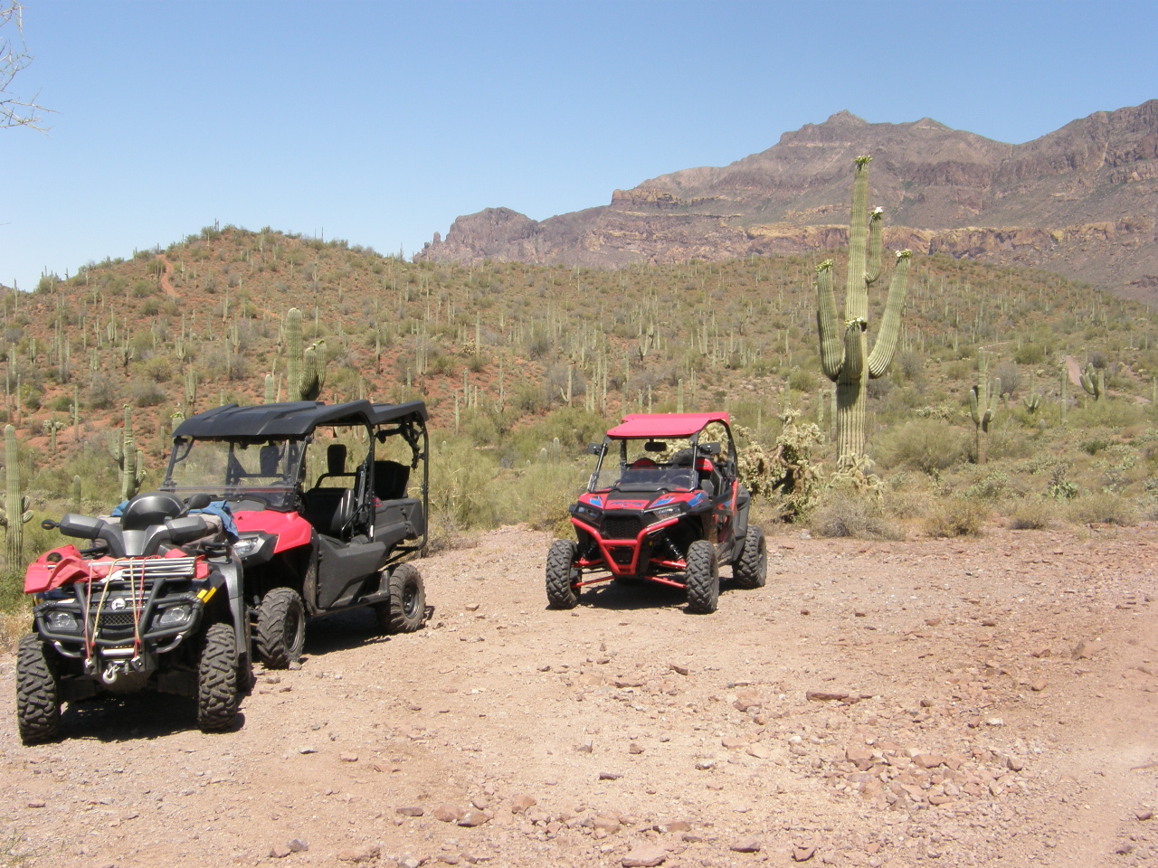
And how we made the trip.
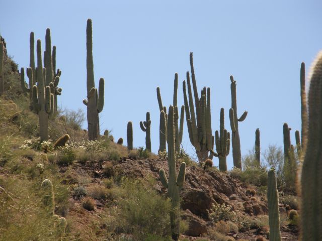
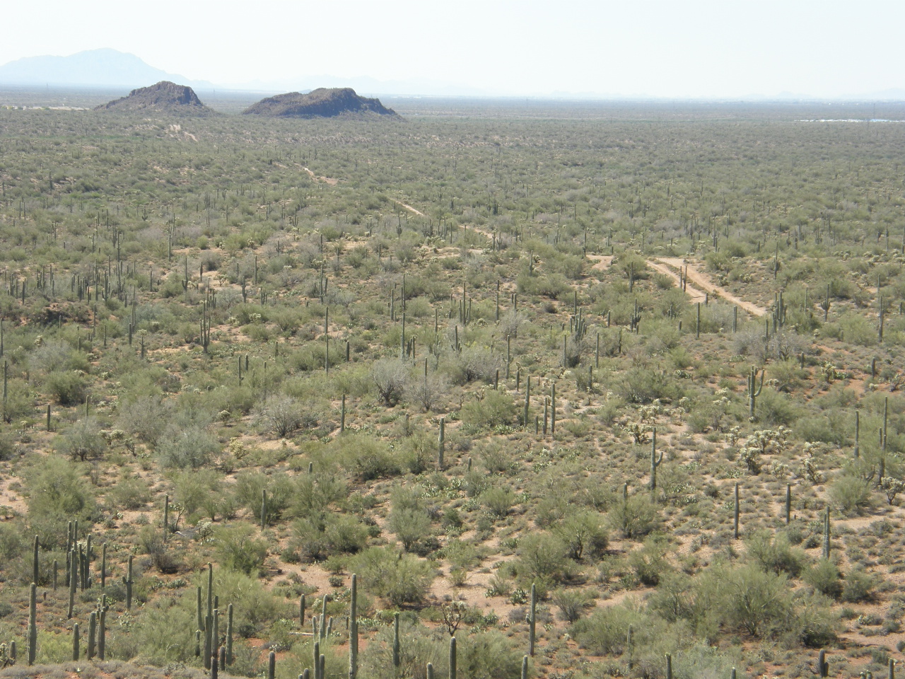
Even more beauty in the park.
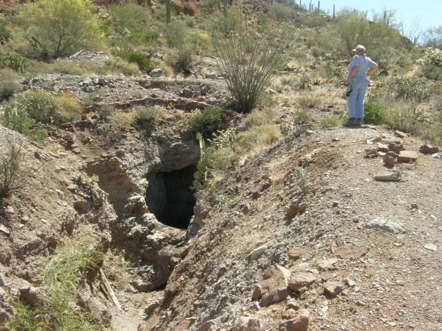
But there are some open old mining operations that pose a risk on the property.
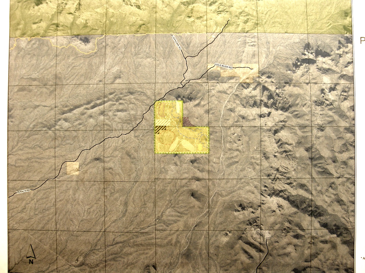
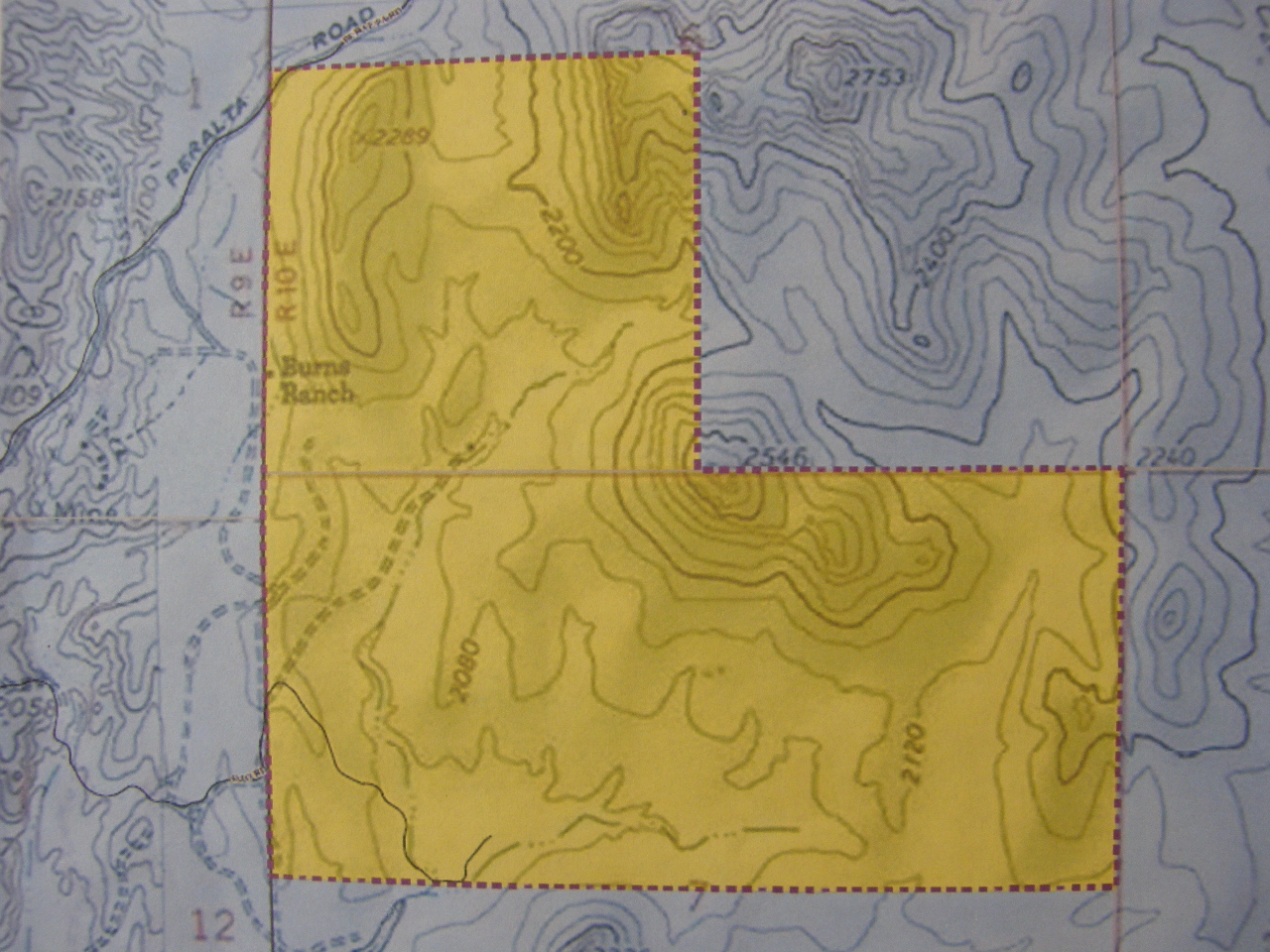
The property is the yellow block "L" shape in the middle of this image.
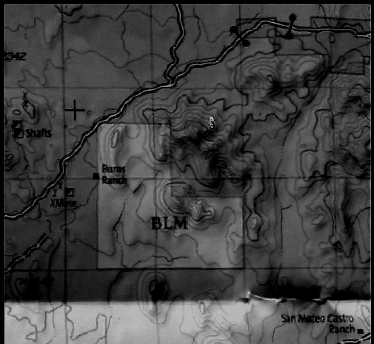
This is a topographic map of the park property.
This is another topographic map of the property.
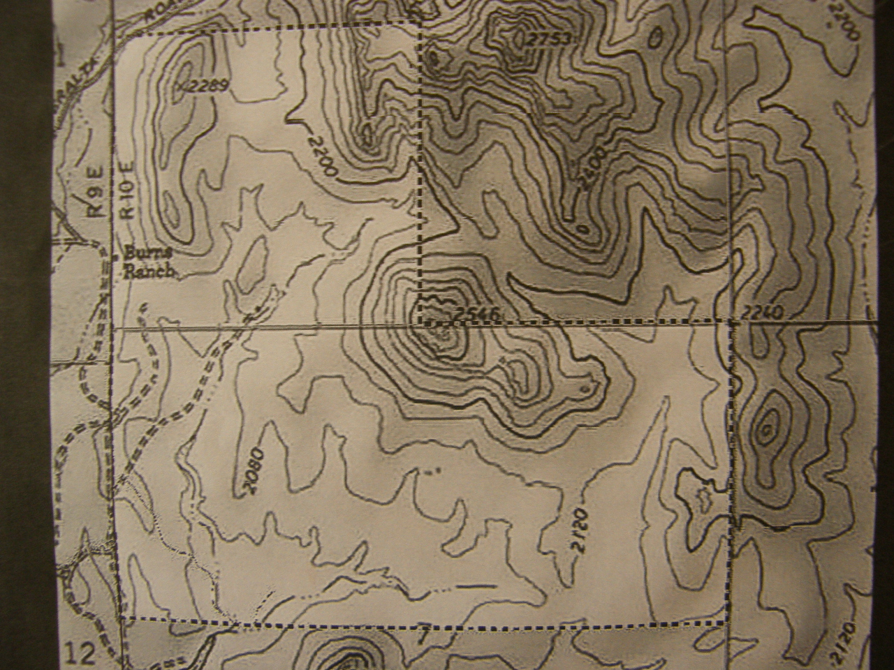
And yet another.
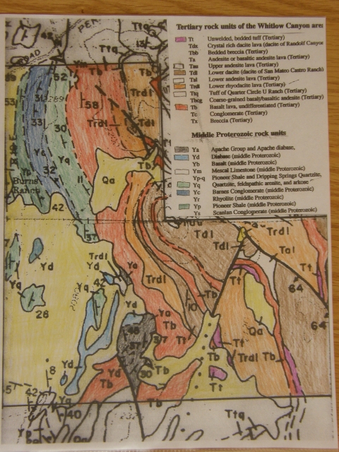
This is a hand-colored geological map* of the area within the park boundaries.
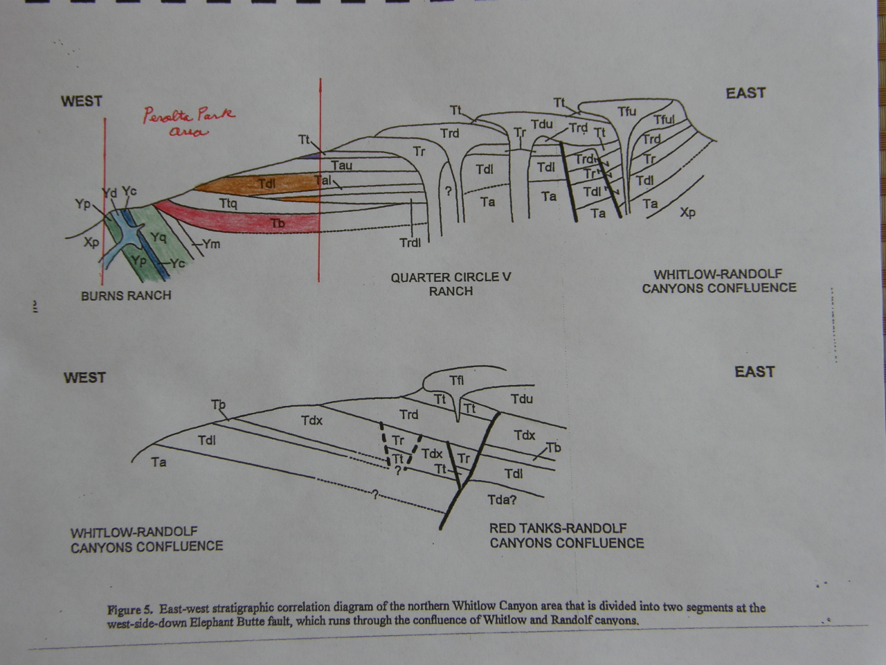
This is a west-east cross section* of the park area, which is the colored region on the section.
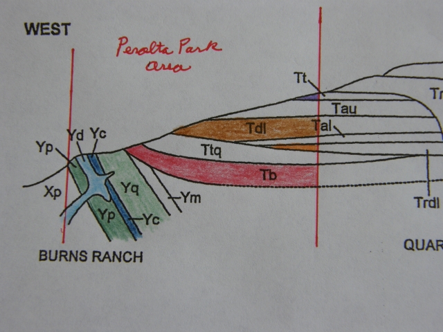
This image enlarges the park area on the hand-colored cross section*.
*The geologc map and cross sections above are taken from the Arizona Geologic Survey Open File Report 95-10 by Ferguson and Skotnicki.
See the following for the geologic map and associated report of the region that includes Peralta County Park and Weaver's Needle:
http://repository.azgs.az.gov/uri_gin/azgs/dlio/245
Rhyolite and dacite are common igneous rocks in this area. Here are links that give more detail about these similar rocks:
https://flexiblelearning.auckland.ac.nz/rocks_minerals/rocks/rhyolite.html
and
https://flexiblelearning.auckland.ac.nz/rocks_minerals/rocks/dacite.html