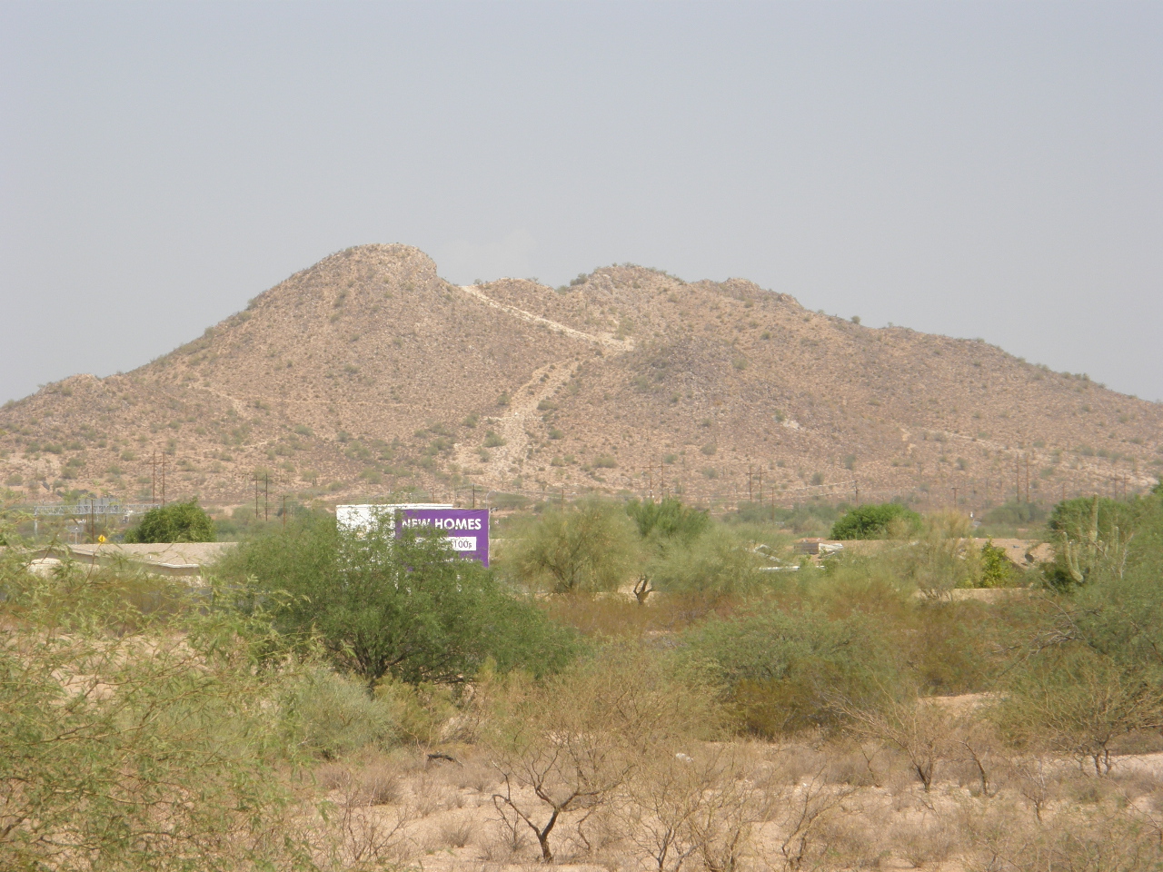
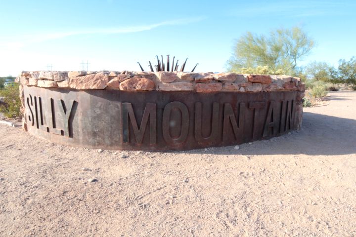
Silly Mountain
Not really a mountain; more an interesting hill.
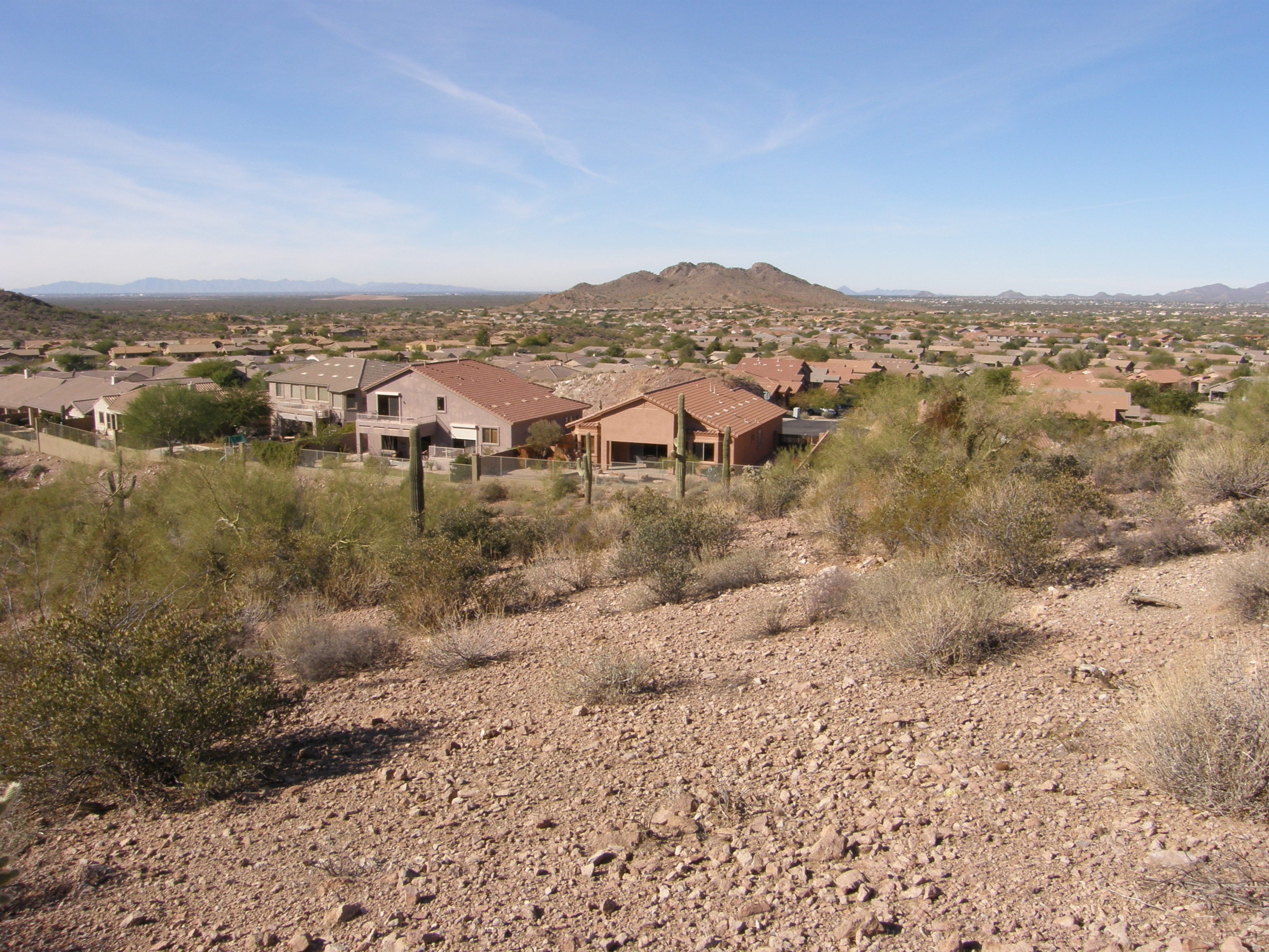
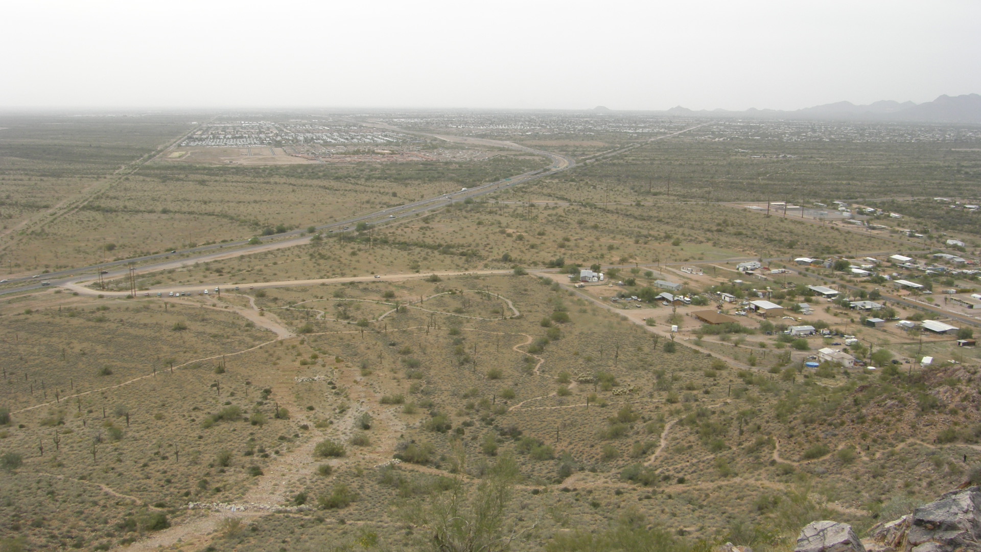
My home is the one closest to the camera in this photograph that was taken from the unnamed hill behind my house, but the dome-shapped hill seen directly beyond my house is called "Silly Mountain." All the homes in the picture are part of the community of Gold Canyon and were built within a year of two of 2002, but before that the land was open desert owned by the State of Arizona. Silly Mountain might be called a mountain primarily because it stands alone in otherwise non-descript low topography.
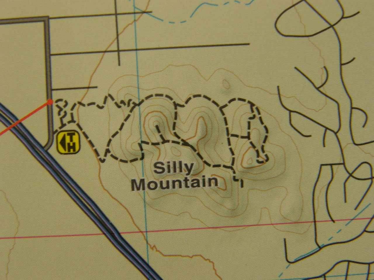
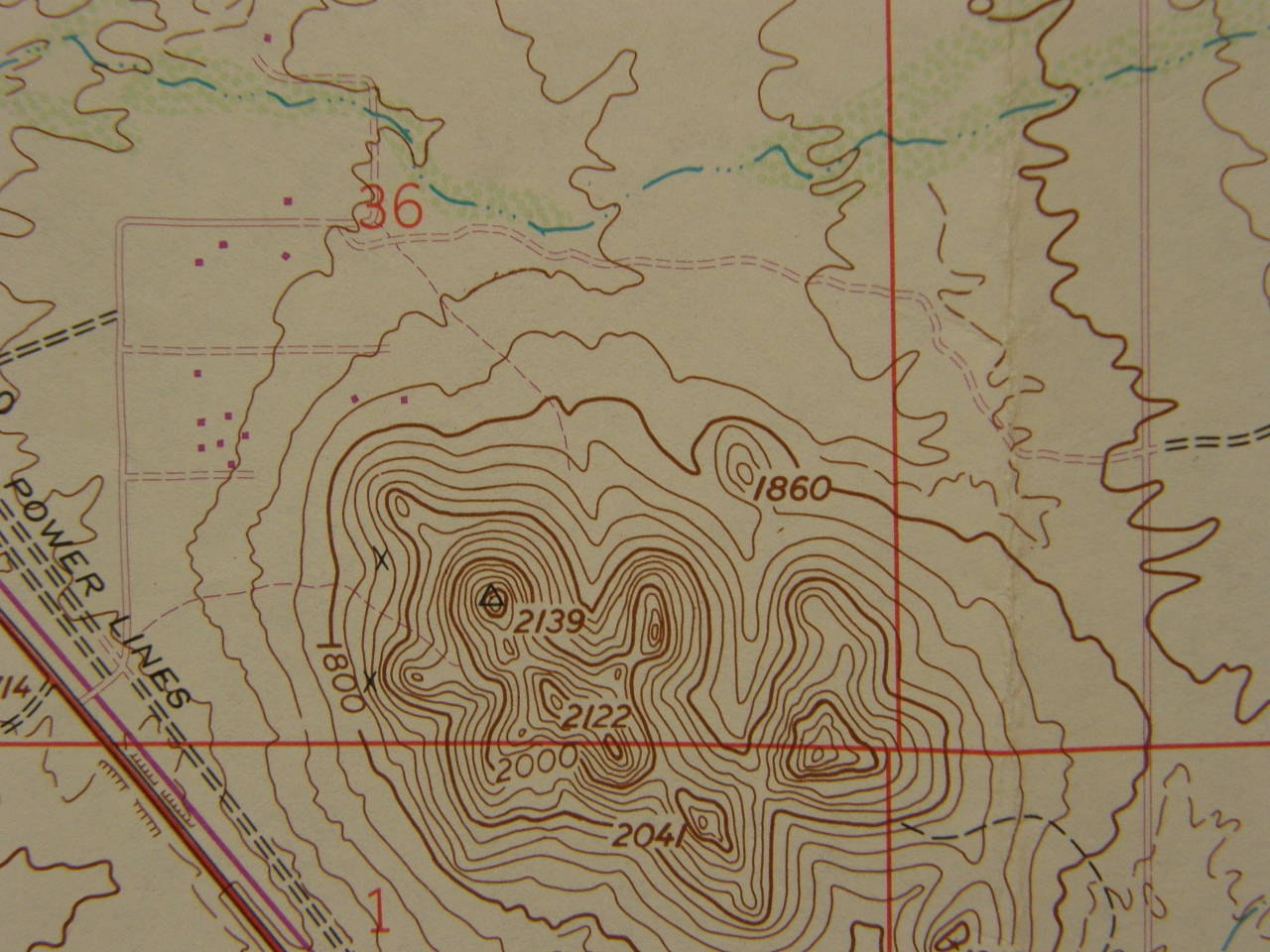
The above maps show Silly Mountain is located between the separate street plans of Apache Junction, to the west, and Gold Canyon, to the east. The parking lot at the western base of Silly Mountain is at an elevation of 1740 feet above sea level and the highest point of Silly Mountain is at 2139 feet elevation, which produces a hill about 400 feet in height -- not exactly a mountain.
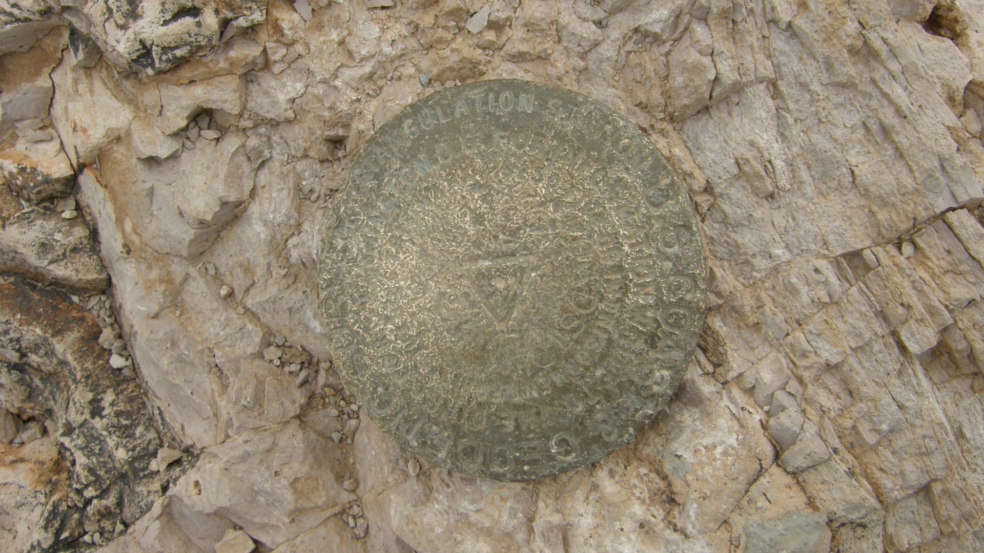
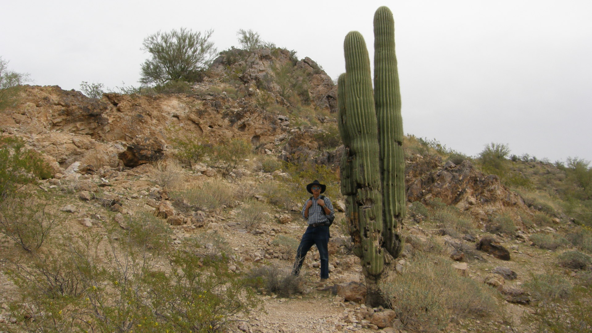
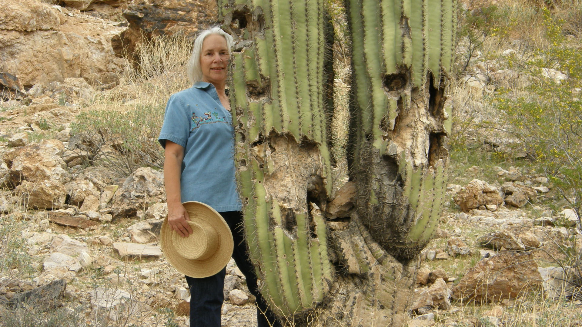
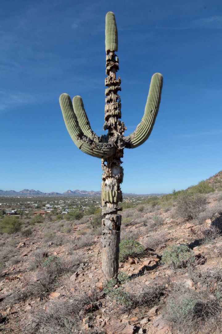
Before this area was developed with housing, it was used as unregulated recreation area by some people, perhaps from the then-smaller Phoenix metropolitan area which lies several miles to the west. They used jeeps and all-terrain vehicles to race up and down the hill, scarring the land and killing the vegetation where they ran their vehicles. The benchmark at the summit shows the unfortunate effects of years of enthusiastic abuse. Some sagauro cactuses on its slopes show the effects of being blasted by pistols, rifles, and, probably more destructively, shotguns.
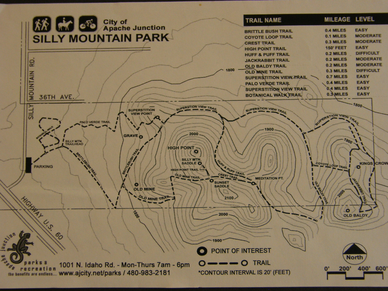
In 2008 the city of Apache Junction closed Silly Mountain to all off-road vehicles and in 2010 Apache Junction and SALT (Superstition Area Land Trust) entered into an agreement to rehibilitate the scarred areas, to develop new trails, and to create a botanical walk along the trails. In an area where the annual rainfall is only 11 inches (as compared to Bethlehem, PA, where the average is about 45 inches per year), both the land and vegetation recover slowly.
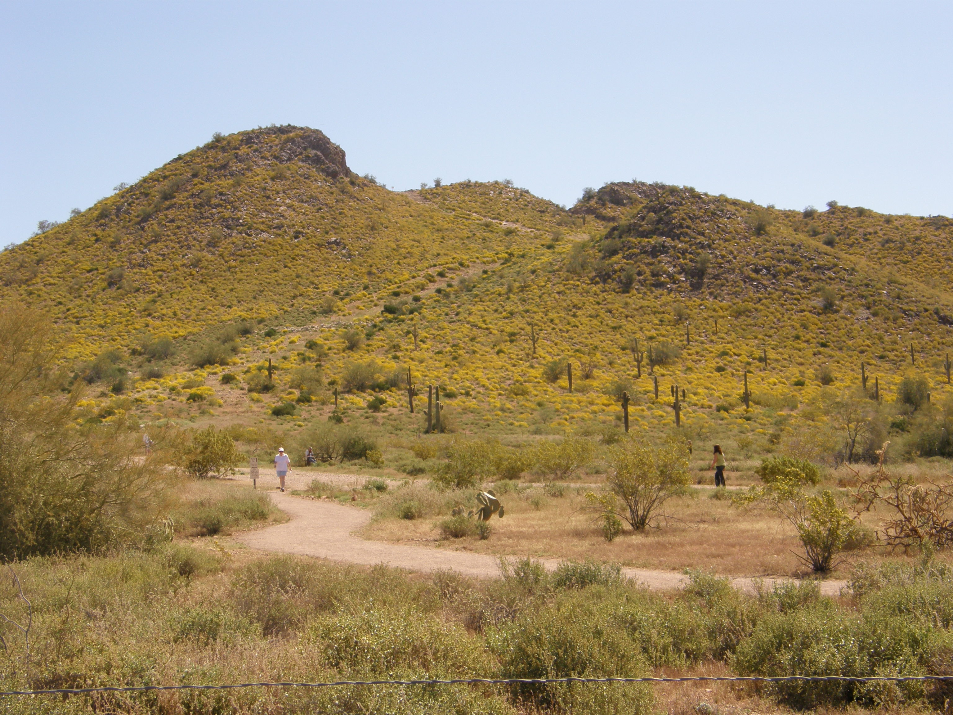
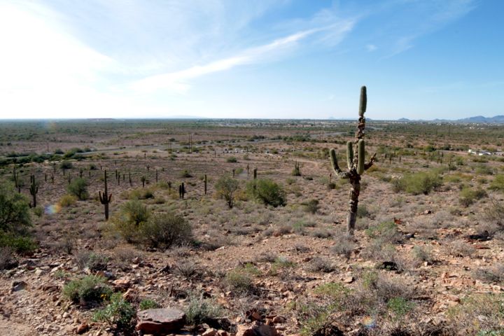
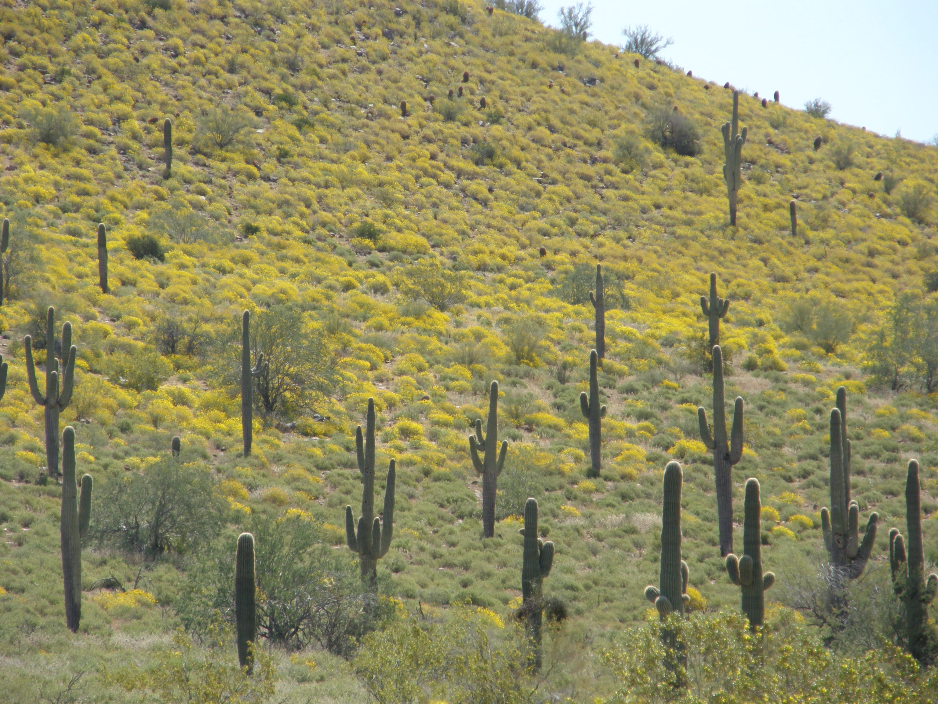
The view from the summit looking to the northwest, toward Scottsdale. In a year with higher than average spring rainfall, the yellow brittlebush flowers make the slopes colorful.
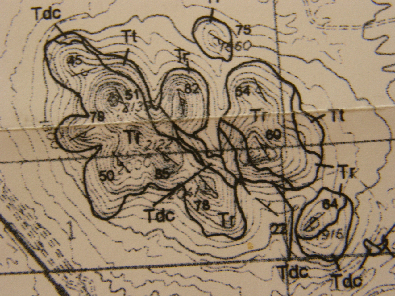
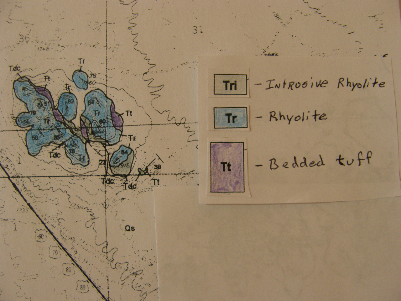
The geologic map* of Silly Mountain is presented in B&W and hand-colored versions. All the rock units are igneous, and are rhyolitic in composition. The rhyolite (symbol Tr) is more resistant than the other two units and forms the steep, rounded, higher portions of Silly Mountain.
In my experience, Silly Mountain is one of the best examples of a successful restorative project. It is a popular local hiking site.
----------------------------------
* Arizona Geological Survey Open-File Report 95-9 by Skotnicki and Ferguson
Below are the descriptions of the major rock units shown on the above maps:
Qs Quaternary surficial deposits -- Contains unconsolidated to moderately well-consolidated sand, gravel and conglomerate deposits of various ages.
Tri Intrusive rhyolite -- Contains less than 5 percent nonhederal to subhederal phenocrysts of feldspar and biotite in a tan to light grey aphanitic groundmass. Forms dikes at Dinosaur Mountain and one dike in Hyroglyphic Canyon. Commonly flow-banded.
Tr Rhyolite -- Crystal-poor, light tan lavas containing less than 2 percent subhederal 1-3 mm phenocrysts of clear plagioclase and black biotite in a tan, aphanitic matrix.
Tdc Dacite -- Crystal-rich lavas containing subhederal 1-15 mm phenocrysts of clear to light grey plagioclase and subhederal to euhederal 1-8 mm phenocrysts of biotite and hornblende in a dark maroon to blue-purple aphanitic matrix.
Tt Bedded tuff -- Undivided yellow to tan bedded lithic tuffs containing various subangular volcanic clasts and less abundant granite. Near the Massacre Grounds the unit contains steep tabular cross-beds with fine-grained well-sorted sand-sized sand grains and eolian in character.
---------------References---------------------
For the latest geologic map and associated report on Gold Canyon and the nearby Superstition Mountain, see the following:
http://repository.azgs.az.gov/uri_gin/azgs/dlio/246
Rhyolite and dacite are common igneous rocks in this area. Here are links that give more detail about these similar rocks:
https://flexiblelearning.auckland.ac.nz/rocks_minerals/rocks/rhyolite.html
and
https://flexiblelearning.auckland.ac.nz/rocks_minerals/rocks/dacite.html
For additional information about the commmuity of Gold Canyon, see the following website:
https://goldcanyon.net