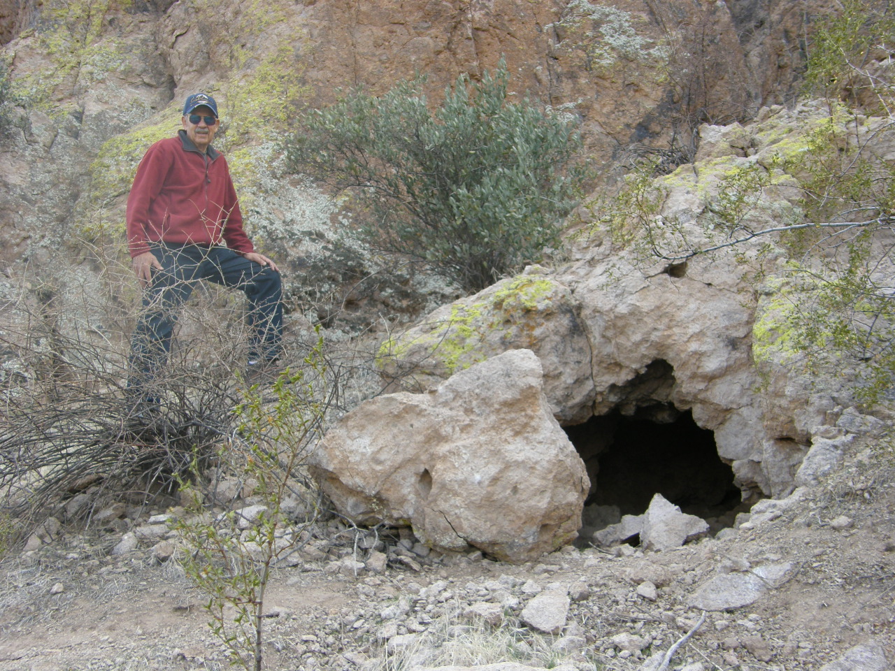
Located about two city blocks from my house, this feature is interesting for its revealing textures.
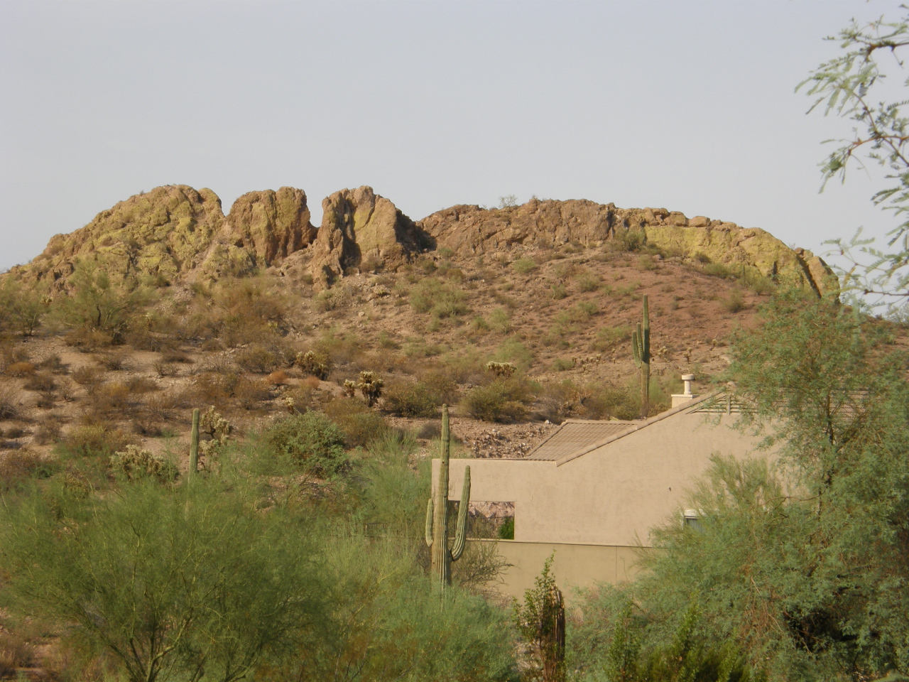
This geologic feature makes a linear ridge that is topographically very conspicuous in its southerly portions, which is shown in the image above, but less so in its more northerly extension. See the hand-colored geologic map* below.
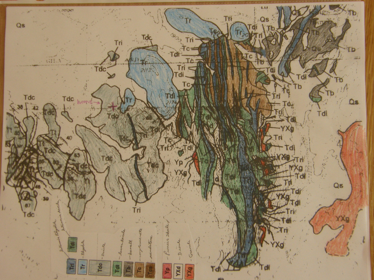
The feature on the above geologic map* is in the grey area (with the symbol "Tdc") near the center of the map, southwest of the red "+" symbol, which indicates the location of my home.
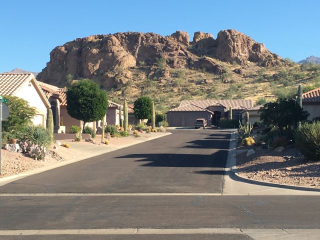
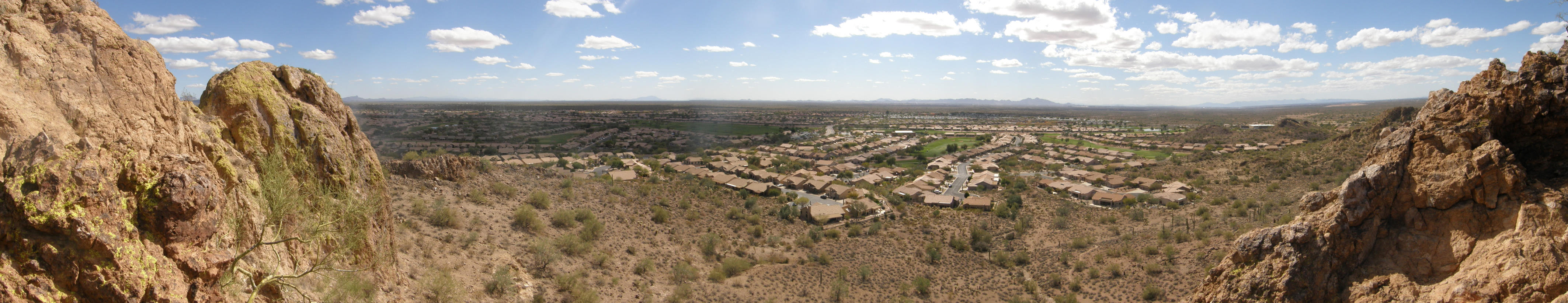
The image above shows the unnamed ridge as seen from Mountain Brook, which is a development within Gold Canyon. Mountain Brook is located on the opposite side of the ridge from where my home is located. The ridge separates the two developments.
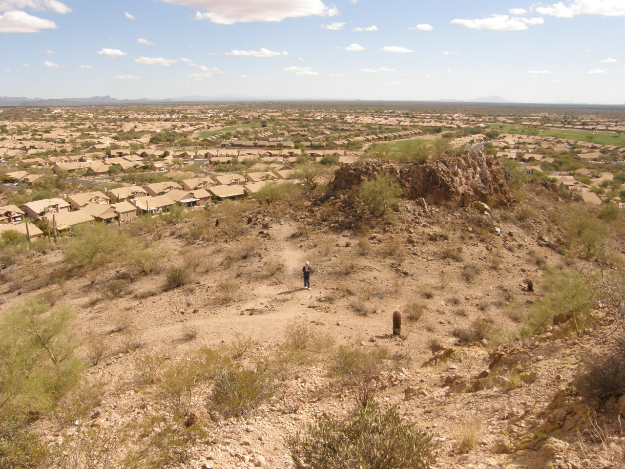
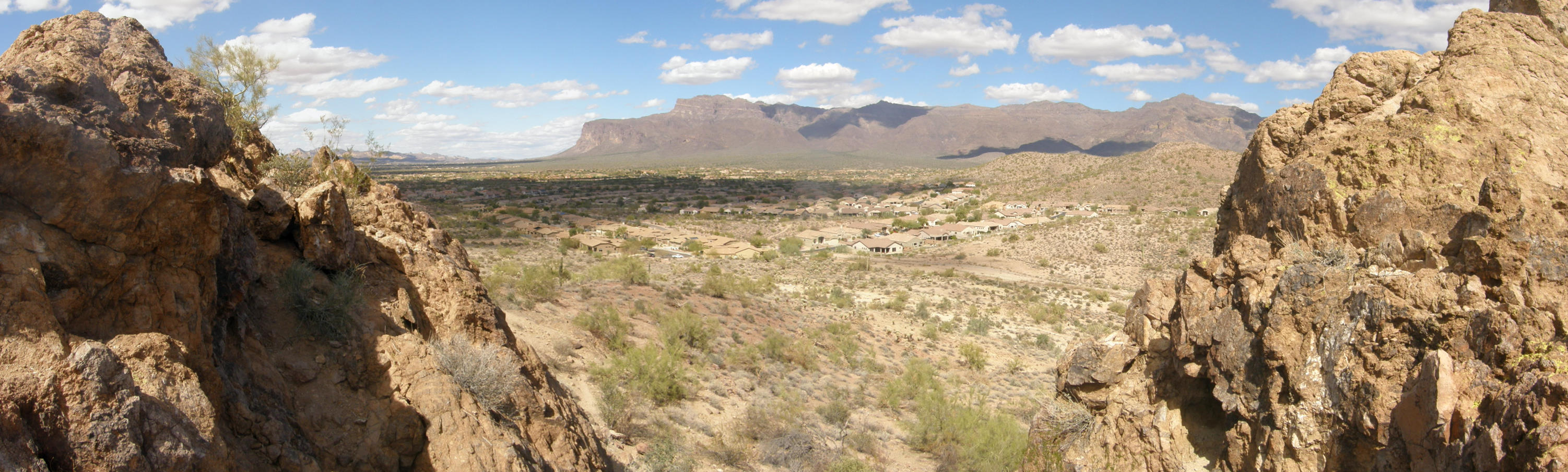
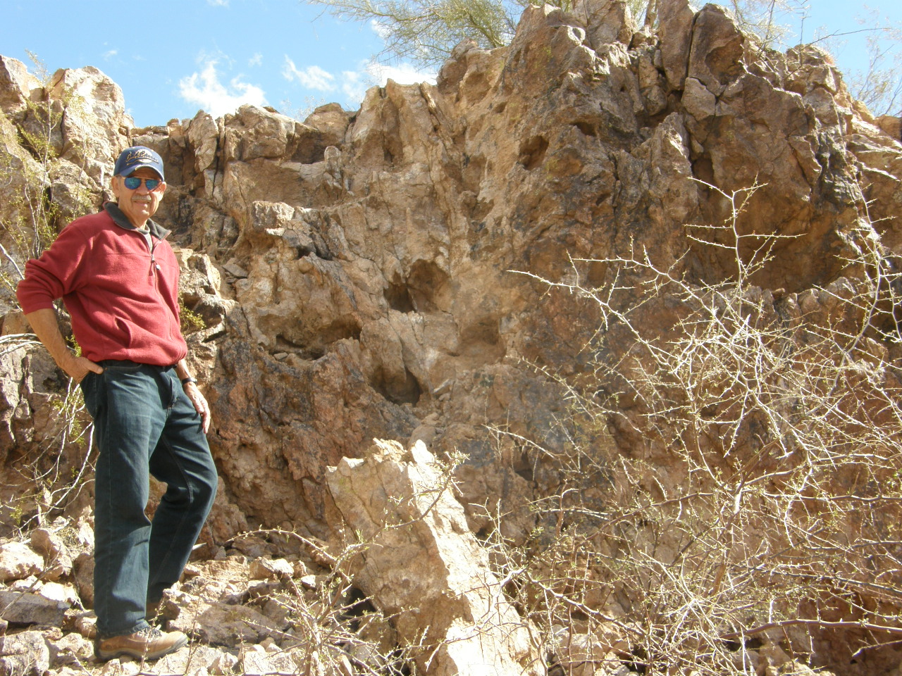
Here we climb up onto the ridge, which gives us a good view of the surrounding area.
The above is the view to the north.
The above is the view to the south.
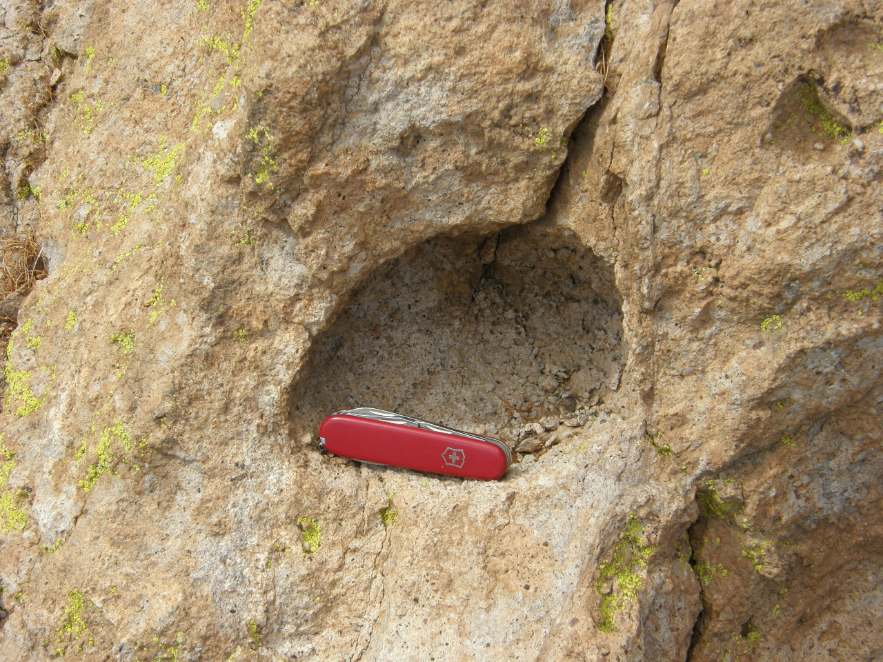
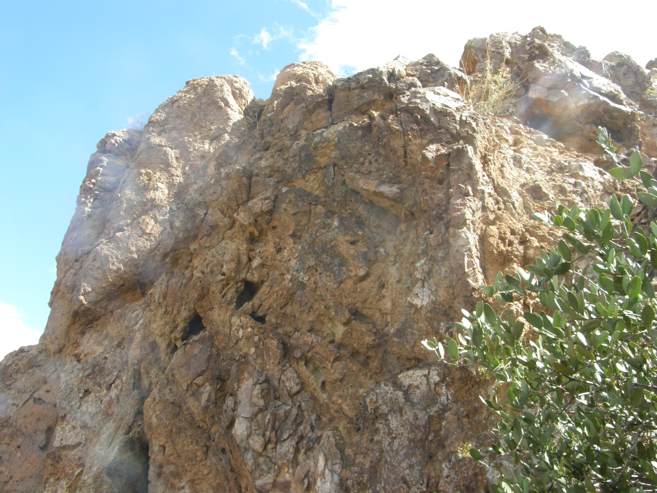
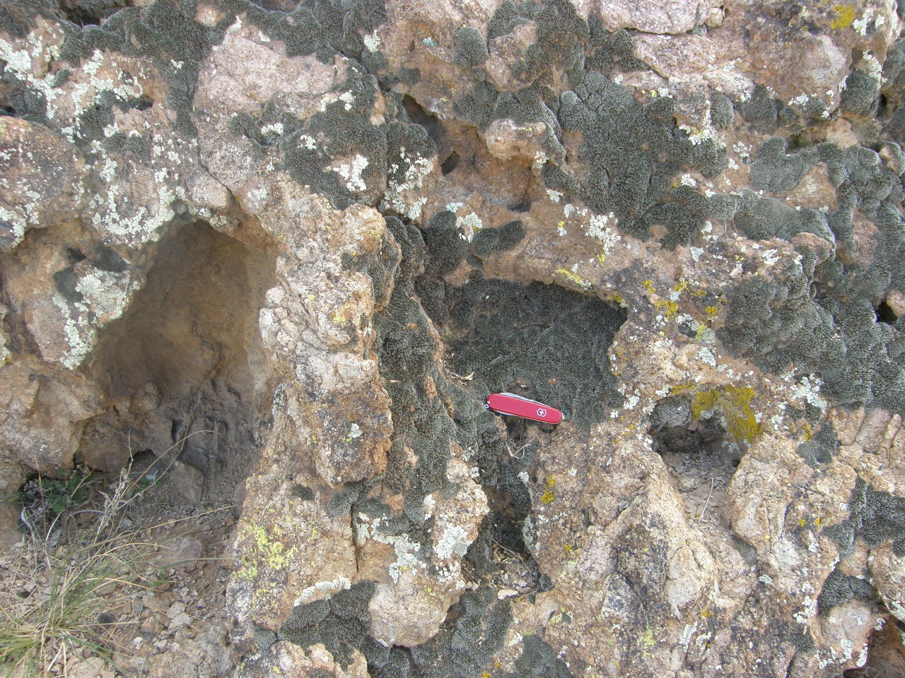
The igneous rock is dacite. These are large gas bubbles that were being released from the cooling dacite as these layers were forming. They are called vesicles when small, but here they are quite large and easy to see.
*The geologic map is taken from the Arizona Geological Survey Open File Report 95-9 by Skotnicki and Ferguson.
For the latest geologic map and associated report on Gold Canyon and the nearby Superstition Mountain, see the following:
http://repository.azgs.az.gov/uri_gin/azgs/dlio/246
Rhyolite and dacite are common igneous rocks in this area. Here are links that give more detail about these similar rocks:
https://flexiblelearning.auckland.ac.nz/rocks_minerals/rocks/rhyolite.html
and
https://flexiblelearning.auckland.ac.nz/rocks_minerals/rocks/dacite.html
For additional information about the commmuity of Gold Canyon, see the following website:
https://goldcanyon.net