Topographic Map Review
Click on the titles to the left to see topographic map examples and photographs of various topographic map features.
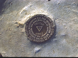
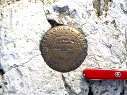
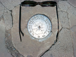
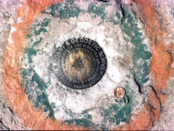
Below are bench marks that are anchored in solid rock and are used for surveying and map making.


Features
Alluvial fan
Arete
Bajada
Barrier Island
Bayhead Bar
Baymouth Bar
Braided Stream
Caldera
Cirque
Delta
Distributary
Drumlin
End Moraine
Esker
Estuary
Fjord
Floodplain
Groin
Ground Moraine
Hanging Valley
Horn
Inselberg
Jetty
Kame
Kettle
Lagoon
Lateral Moraine
Marine Terrace
Medial Moraine
Natural Levee
Pediment
Recessional Moraine
Roches Moutonnees
Rock Steps
Sea Stack
Spit
Stream Terrace
Talus Pile
Terminal Moraine
Tombolo
U Shaped Valley
V Shaped Valley
Wave-Cut Platform
Water Gap
Wind Gap
Yazoo Stream
Lake Types
Kettle
Oxbow
Pater Noster
Playa
Sinkhole
Tarn
Material
Alluvium
Bedrock
Glacial Erratic
Loess
Stratified Drift
Talus
Till
Drainage Patterns
Dendritic
Deranged
Trellis
Underground
Stream Ages
Youth
Maturity
Old Age
Superposed
Structure
Folds
Anticline
Basin
Dome
Syncline
Faults
Strike Slip
Left-handed
Right-handed
Dip Slip
Normal Fault
Reverse Fault
Topography
Hummocky Topography
Karst Topography
Click on the titles to the left to see topographic map examples and photographs of various topographic map features.
Below are bench marks that are anchored in solid rock and are used for surveying and map making.


