Lehigh Valley Geology Field Trips
Field Trip 3, Stop 3
The Exciting Precambrian / Cambrian Contact
(Click on images below to enlarge)
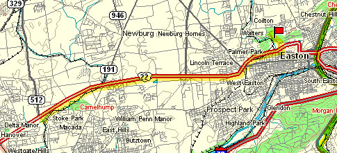
(Source: DeLorme 3-D TopoQuads)
Exit US Route 22 at the 13th Street exit; turn right onto 13th Street and then turn left onto Bushkill Drive, going north. Travel about a half-mile and then park on the broad shoulder of the road adjacent to the tall road cut. A stunning outcrop will be to the right, opposite Bushkill Creek on the left. (Although fossil stromatolites are abundant in the outcrop of the Allentown Formation at the 13th Street exit, we will not stop there because we have inadequate time and because the site is dangerous due to speeding traffic. The 13th street exit stop is described on the web page for Field Trip #2, Stop #1.)
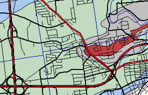
(Source: ArcView GIS Software)
The map above shows US Route 22 as the important (red) highway along the bottom, with the 13th Street exit near the right corner of the map. Bushkill Drive is the important (red) highway going northwest from this exit. Where Bushkill Drive cuts the rust-colored rocks on the above map is where the exposure of stop #3 is located. The rust-colored rocks on the map are Precambrian gneisses and the grays and blues are limestones/dolomites of the valley floor, which are younger in age than the gneiss. This stop investigates the contact between the rust-colored rocks with the gray rocks on the north side of this structure where the contact is well exposed.
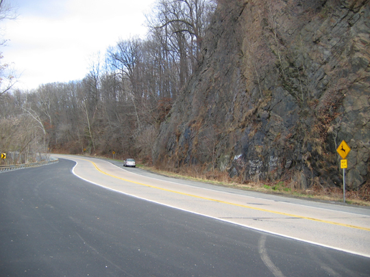
The exposure along Bushkill Drive is very compelling. The Bushkill Creek is to the left. Torrential floodwaters in the fall of 2004 damaged the left side of this highway, but it was repaired just prior to the taking of this photograph.
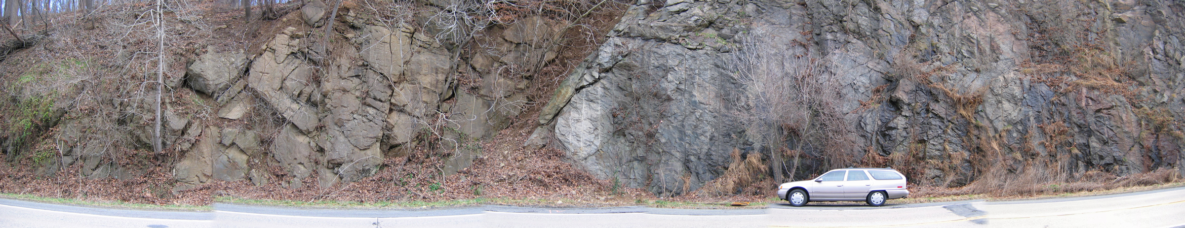
(The mosaic is a large data file, so you need a fast connection if you want to expand it)
This mosaic of five photographs shows the fault contact between the Precambrian granite gneiss, which is exposed behind and in front of the car, and the limestone/dolomites which are seen from the approximate center to the left edge of the mosaic. The fault contact between them, which is an inclined zone of brown soil, dips from upper right to lower left.
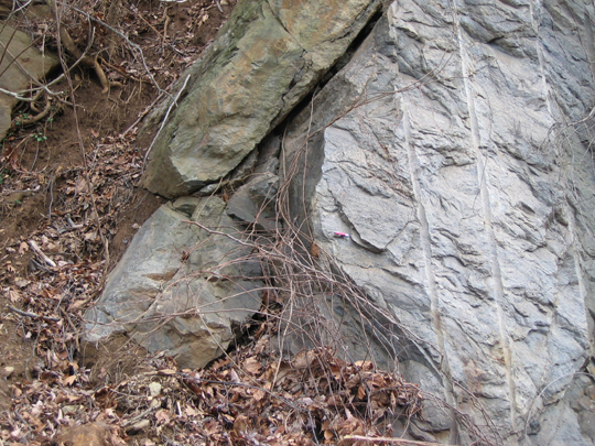
The Precambrian granite gneiss is to the right and the limestone/dolomite is to the left. The fault dips to the left. The granite gneiss is "smeared" in the direction of the fault plane adjacent to the fault.

This is a closer view of the smeared gneiss adjacent to the fault. The red pocket knife gives scale.
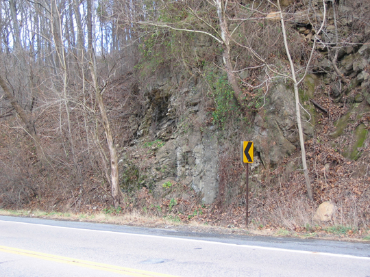
The rock shown here is the limestone/dolomite which is folded into a recumbent fold. The fold is the large exposure left of the highway sign.
End Stop #3 of Field Trip #3